
Montague topographic map
Interactive map
Click on the map to display elevation.
About this map
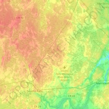
Name: Montague topographic map, elevation, terrain.
Location: Montague, Lanark County, Eastern Ontario, Ontario, Canada (44.86837 -76.10674 45.07230 -75.81597)
Average elevation: 126 m
Minimum elevation: 90 m
Maximum elevation: 162 m