
Hanging Rock topographic map
Interactive map
Click on the map to display elevation.
About this map
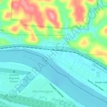
Name: Hanging Rock topographic map, elevation, terrain.
Location: Hanging Rock, Lawrence County, Ohio, United States (38.55250 -82.74516 38.56426 -82.71307)
Average elevation: 186 m
Minimum elevation: 156 m
Maximum elevation: 264 m