
Coober Pedy topographic map
Interactive map
Click on the map to display elevation.
About this map
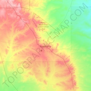
Name: Coober Pedy topographic map, elevation, terrain.
Average elevation: 177 m
Minimum elevation: 111 m
Maximum elevation: 276 m
Other topographic maps
Click on a map to view its topography, its elevation and its terrain.
The District Council of Coober Pedy
Australia > South Australia > The District Council of Coober Pedy
The District Council of Coober Pedy, South Australia, Australia
Average elevation: 205 m