
Thali topographic map
Interactive map
Click on the map to display elevation.
About this map
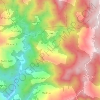
Name: Thali topographic map, elevation, terrain.
Location: Thali, Dhari, Nainital, Uttarakhand, India (29.40650 79.72422 29.44650 79.76422)
Average elevation: 1,889 m
Minimum elevation: 1,513 m
Maximum elevation: 2,209 m