
Faraya topographic map
Interactive map
Click on the map to display elevation.
About this map
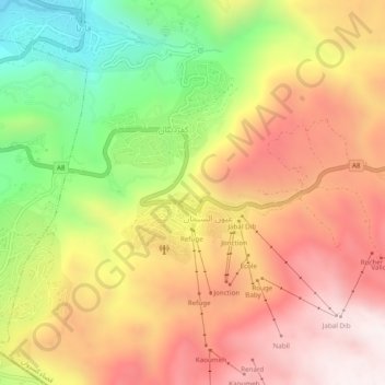
Name: Faraya topographic map, elevation, terrain.
Location: Faraya, Keserwan District, Mount Lebanon Governorate, Lebanon (33.97511 35.81728 34.01511 35.85728)
Average elevation: 1,846 m
Minimum elevation: 1,260 m
Maximum elevation: 2,326 m