
Fort Alexander topographic map
Interactive map
Click on the map to display elevation.
About this map
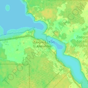
Name: Fort Alexander topographic map, elevation, terrain.
Location: Fort Alexander, Division No. 19, Manitoba, R0E 0P0, Canada (50.57516 -96.34887 50.65516 -96.26887)
Average elevation: 223 m
Minimum elevation: 215 m
Maximum elevation: 231 m