
Achterbroek topographic map
Interactive map
Click on the map to display elevation.
About this map
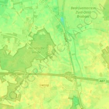
Name: Achterbroek topographic map, elevation, terrain.
Location: Achterbroek, Noord-Brabant, Nederland, 5715, Nederland (51.41051 5.66741 51.45051 5.70741)
Average elevation: 23 m
Minimum elevation: 10 m
Maximum elevation: 27 m