
Tsetsen-Uul topographic map
Interactive map
Click on the map to display elevation.
About this map
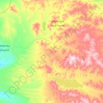
Name: Tsetsen-Uul topographic map, elevation, terrain.
Location: Tsetsen-Uul, Zavkhan, Mongolia (48.31765 95.34123 48.80786 96.37683)
Average elevation: 2,036 m
Minimum elevation: 1,535 m
Maximum elevation: 2,913 m
Other topographic maps
Click on a map to view its topography, its elevation and its terrain.