
Uruca topographic map
Interactive map
Click on the map to display elevation.
About this map
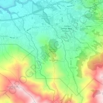
Name: Uruca topographic map, elevation, terrain.
Location: Uruca, Cantón Santa Ana, Provincia San José, 10904, Costa Rica (9.89322 -84.21418 9.94759 -84.18169)
Average elevation: 1,090 m
Minimum elevation: 779 m
Maximum elevation: 1,645 m