
Flynn topographic map
Interactive map
Click on the map to display elevation.
About this map
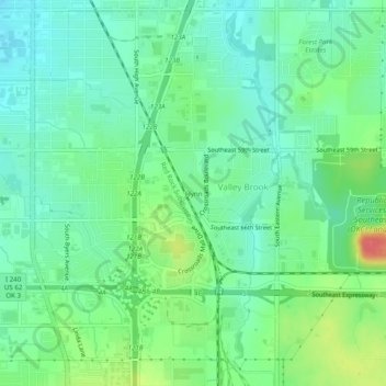
Name: Flynn topographic map, elevation, terrain.
Location: Flynn, Oklahoma County, Oklahoma, 73149, United States (35.38173 -97.50754 35.42173 -97.46754)
Average elevation: 389 m
Minimum elevation: 368 m
Maximum elevation: 435 m