
Hallett topographic map
Interactive map
Click on the map to display elevation.
About this map
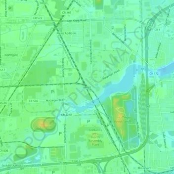
Name: Hallett topographic map, elevation, terrain.
Location: Hallett, Lucas County, Ohio, 4949, United States (41.68732 -83.54045 41.72732 -83.50045)
Average elevation: 182 m
Minimum elevation: 173 m
Maximum elevation: 196 m