
Majšperk topographic map
Interactive map
Click on the map to display elevation.
About this map
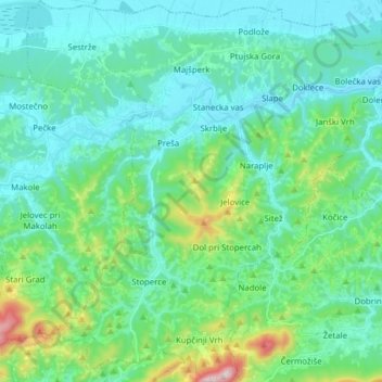
Name: Majšperk topographic map, elevation, terrain.
Location: Majšperk, Podravska, Slovenia (46.26197 15.66659 46.36944 15.81417)
Average elevation: 342 m
Minimum elevation: 225 m
Maximum elevation: 847 m