
Gairimudi topographic map
Interactive map
Click on the map to display elevation.
About this map
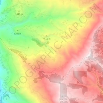
Name: Gairimudi topographic map, elevation, terrain.
Location: Gairimudi, Baiteshwor, दोलखा, Bagmati, Népal (27.57757 86.07524 27.62275 86.15842)
Average elevation: 1,691 m
Minimum elevation: 748 m
Maximum elevation: 2,466 m
Other topographic maps
Click on a map to view its topography, its elevation and its terrain.