
Mount Muhabura topographic map
Interactive map
Click on the map to display elevation.
About this map
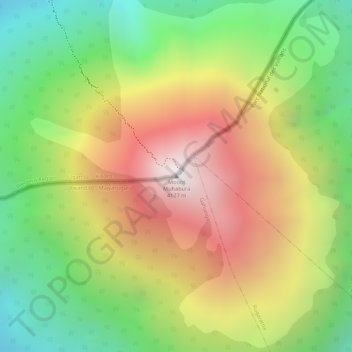
Name: Mount Muhabura topographic map, elevation, terrain.
Location: Mount Muhabura, Gahunga, Burera, Northern Province, Rwanda (-1.38306 29.67786 -1.38296 29.67796)
Average elevation: 3,485 m
Minimum elevation: 2,901 m
Maximum elevation: 4,094 m