
Moreland Hills topographic map
Interactive map
Click on the map to display elevation.
About this map
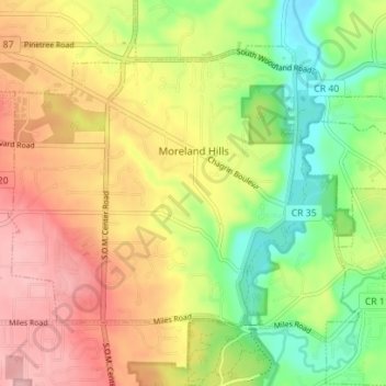
Name: Moreland Hills topographic map, elevation, terrain.
Location: Moreland Hills, Cuyahoga County, Ohio, USA (41.42207 -81.46135 41.46210 -81.39139)
Average elevation: 307 m
Minimum elevation: 234 m
Maximum elevation: 381 m