
Chappal Waddi topographic map
Interactive map
Click on the map to display elevation.
About this map
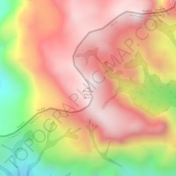
Name: Chappal Waddi topographic map, elevation, terrain.
Location: Chappal Waddi, Gashaka, Taraba, Nigeria (7.03569 11.71468 7.03579 11.71478)
Average elevation: 2,184 m
Minimum elevation: 1,770 m
Maximum elevation: 2,422 m
Other topographic maps
Click on a map to view its topography, its elevation and its terrain.