
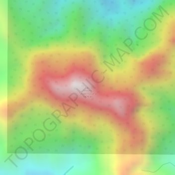
Mount Tabwemasana topographic map
Interactive map
Click on the map to display elevation.
About this map
Name: Mount Tabwemasana topographic map, elevation, terrain.
Location: Mount Tabwemasana, Sanma, Vanuatu (-15.36309 166.75607 -15.36299 166.75617)
Average elevation: 1,347 m
Minimum elevation: 897 m
Maximum elevation: 1,828 m
Other topographic maps
Click on a map to view its topography, its elevation and its terrain.
Aore Island
Vanuatu > Sanma > Luganville
Aore Island, Luganville, Sanma, Vanuatu
Average elevation: 33 m