
Waratah topographic map
Interactive map
Click on the map to display elevation.
About this map
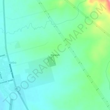
Name: Waratah topographic map, elevation, terrain.
Location: Waratah, Queensland, Australia (-21.70321 148.69178 -21.66321 148.73178)
Average elevation: 223 m
Minimum elevation: 191 m
Maximum elevation: 329 m