
Paihia topographic map
Interactive map
Click on the map to display elevation.
About this map
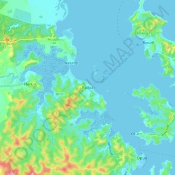
Name: Paihia topographic map, elevation, terrain.
Location: Paihia, Far North District, Northland, 0252, New Zealand (-35.32187 174.04968 -35.24187 174.12968)
Average elevation: 27 m
Minimum elevation: -1 m
Maximum elevation: 161 m