
Siglufjörður topographic map
Interactive map
Click on the map to display elevation.
About this map
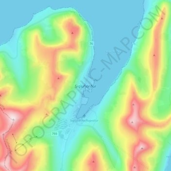
Name: Siglufjörður topographic map, elevation, terrain.
Location: Siglufjörður, Fjallabyggð, Northeastern Region, 580, Iceland (66.11049 -18.94963 66.19049 -18.86963)
Average elevation: 260 m
Minimum elevation: -2 m
Maximum elevation: 893 m