
Sawyer County topographic map
Interactive map
Click on the map to display elevation.
About this map
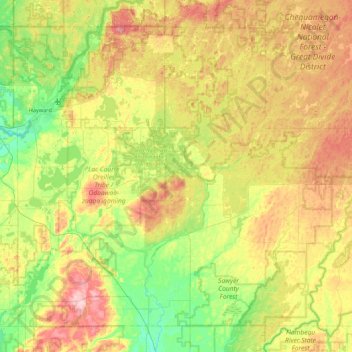
Name: Sawyer County topographic map, elevation, terrain.
Location: Sawyer County, Wisconsin, USA (45.63776 -91.55181 46.15791 -90.67697)
Average elevation: 420 m
Minimum elevation: 340 m
Maximum elevation: 552 m