
Lea County topographic map
Interactive map
Click on the map to display elevation.
About this map
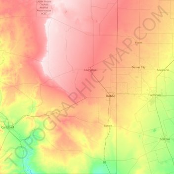
Name: Lea County topographic map, elevation, terrain.
Location: Lea County, New Mexico, United States (32.00024 -103.81465 33.57060 -103.05273)
Average elevation: 1,100 m
Minimum elevation: 872 m
Maximum elevation: 1,381 m