
Sint-Laureins topographic map
Interactive map
Click on the map to display elevation.
About this map
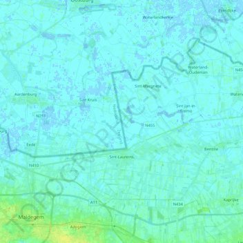
Name: Sint-Laureins topographic map, elevation, terrain.
Location: Sint-Laureins, Eeklo, East Flanders, Flanders, Belgium (51.21552 3.47574 51.30595 3.68700)
Average elevation: 2 m
Minimum elevation: -3 m
Maximum elevation: 15 m