
Gutsbezirk Reinhardswald topographic map
Interactive map
Click on the map to display elevation.
About this map
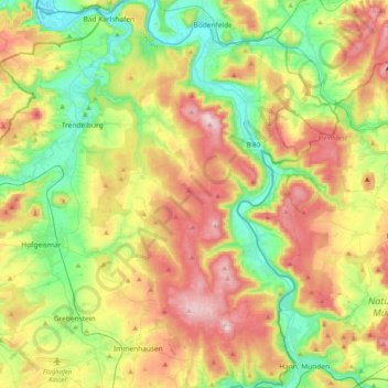
Name: Gutsbezirk Reinhardswald topographic map, elevation, terrain.
Location: Gutsbezirk Reinhardswald, Landkreis Kassel, Hesse, Germany (51.40158 9.41793 51.65429 9.64376)
Average elevation: 247 m
Minimum elevation: 94 m
Maximum elevation: 473 m