
Audley topographic map
Interactive map
Click on the map to display elevation.
About this map
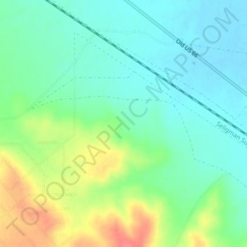
Name: Audley topographic map, elevation, terrain.
Location: Audley, Yavapai County, Arizona, 96337, United States (35.39167 -113.04908 35.41167 -113.02908)
Average elevation: 1,589 m
Minimum elevation: 1,568 m
Maximum elevation: 1,632 m
Other topographic maps
Click on a map to view its topography, its elevation and its terrain.
Humbug
United States > Arizona > Yavapai County
Humbug, Yavapai County, Arizona, United States
Average elevation: 875 m
Prescott
United States > Arizona > Yavapai County
Prescott, Yavapai County, Arizona, United States
Average elevation: 1,674 m
Diamond Valley
United States > Arizona > Yavapai County > Diamond Valley
Diamond Valley, Yavapai County, Arizona, 86134, United States
Average elevation: 1,658 m