
Green Islands topographic map
Interactive map
Click on the map to display elevation.
About this map
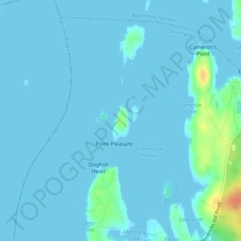
Name: Green Islands topographic map, elevation, terrain.
Location: Green Islands, Southport, Lincoln County, Maine, USA (43.83983 -69.68254 43.84521 -69.67833)
Average elevation: 4 m
Minimum elevation: -1 m
Maximum elevation: 40 m