
Heber topographic map
Interactive map
Click on the map to display elevation.
About this map
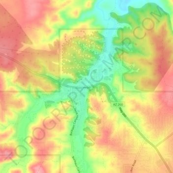
Name: Heber topographic map, elevation, terrain.
Location: Heber, Navajo County, Arizona, 85928, USA (34.41143 -110.61401 34.45143 -110.57401)
Average elevation: 2,001 m
Minimum elevation: 1,939 m
Maximum elevation: 2,046 m