
Warringine Park topographic map
Interactive map
Click on the map to display elevation.
About this map
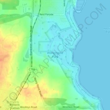
Name: Warringine Park topographic map, elevation, terrain.
Average elevation: 12 m
Minimum elevation: -1 m
Maximum elevation: 39 m
Other topographic maps
Click on a map to view its topography, its elevation and its terrain.
Jack's Beach
Australia > Victoria > Hastings
Jack's Beach, Hastings, Shire of Mornington Peninsula, Victoria, 3919, Australia
Average elevation: 7 m