
Buffalo Creek topographic map
Interactive map
Click on the map to display elevation.
About this map
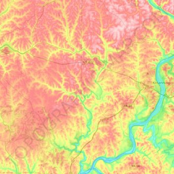
Name: Buffalo Creek topographic map, elevation, terrain.
Average elevation: 364 m
Minimum elevation: 228 m
Maximum elevation: 473 m
Other topographic maps
Click on a map to view its topography, its elevation and its terrain.
Orchard Hills
United States > Pennsylvania > Armstrong County
Orchard Hills, Kiskiminetas Township, Armstrong County, Pennsylvania, United States
Average elevation: 347 m