
Lake Tahoe topographic map
Interactive map
Click on the map to display elevation.
About this map
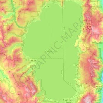
Name: Lake Tahoe topographic map, elevation, terrain.
Location: Lake Tahoe, Placer County, California, USA (38.92817 -120.16394 39.24885 -119.92606)
Average elevation: 2,077 m
Minimum elevation: 1,456 m
Maximum elevation: 2,965 m