
Wallaville topographic map
Interactive map
Click on the map to display elevation.
About this map
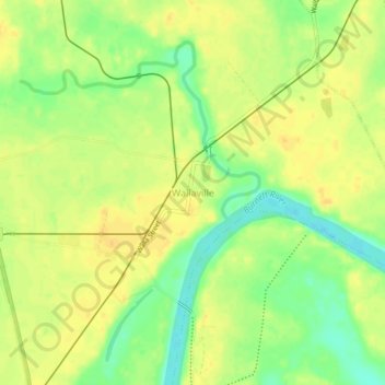
Name: Wallaville topographic map, elevation, terrain.
Location: Wallaville, Bundaberg Region, Queensland, Australia (-25.09378 151.97602 -25.05378 152.01602)
Average elevation: 35 m
Minimum elevation: 17 m
Maximum elevation: 45 m