
Aratula topographic map
Interactive map
Click on the map to display elevation.
About this map
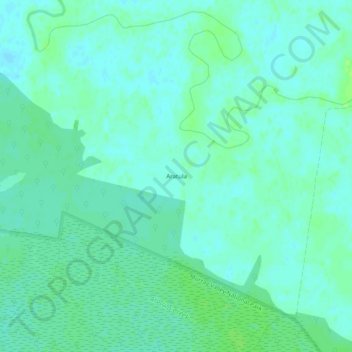
Name: Aratula topographic map, elevation, terrain.
Location: Aratula, Murray River Council, New South Wales, Australia (-35.82951 145.25627 -35.78951 145.29627)
Average elevation: 107 m
Minimum elevation: 102 m
Maximum elevation: 113 m