
Prairieville topographic map
Interactive map
Click on the map to display elevation.
About this map
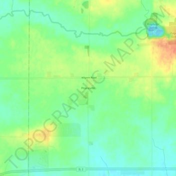
Name: Prairieville topographic map, elevation, terrain.
Location: Prairieville, Lee County, Illinois, United States of America (41.82142 -89.63205 41.86142 -89.59205)
Average elevation: 217 m
Minimum elevation: 199 m
Maximum elevation: 244 m