
La Granda topographic map
Interactive map
Click on the map to display elevation.
About this map
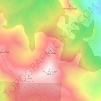
Name: La Granda topographic map, elevation, terrain.
Location: La Granda, Somiedo, Asturias, 33840, Spain (43.06873 -6.28144 43.06883 -6.28134)
Average elevation: 1,554 m
Minimum elevation: 933 m
Maximum elevation: 1,968 m