
Kostinbrod topographic map
Interactive map
Click on the map to display elevation.
About this map
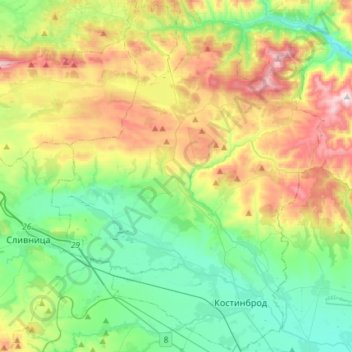
Name: Kostinbrod topographic map, elevation, terrain.
Location: Kostinbrod, Sofia, Bulgaria (42.78247 23.05685 42.99815 23.28288)
Average elevation: 731 m
Minimum elevation: 485 m
Maximum elevation: 1,222 m
Other topographic maps
Click on a map to view its topography, its elevation and its terrain.