Vassieux-en-Vercors topographic map
Interactive map
Click on the map to display elevation.
About this map
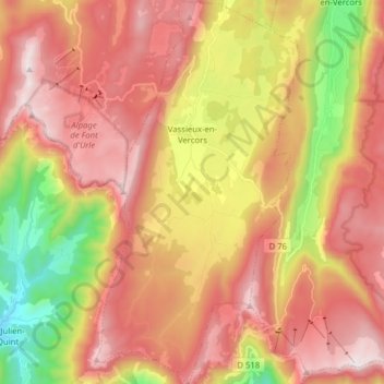
Name: Vassieux-en-Vercors topographic map, elevation, terrain.
Average elevation: 1,201 m
Minimum elevation: 553 m
Maximum elevation: 1,703 m

Click on the map to display elevation.
Name: Vassieux-en-Vercors topographic map, elevation, terrain.
Average elevation: 1,201 m
Minimum elevation: 553 m
Maximum elevation: 1,703 m