
Port Monmouth topographic map
Interactive map
Click on the map to display elevation.
About this map
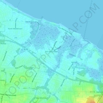
Name: Port Monmouth topographic map, elevation, terrain.
Location: Port Monmouth, Monmouth County, New Jersey, 07758, USA (40.41011 -74.11847 40.45011 -74.07847)
Average elevation: 5 m
Minimum elevation: -3 m
Maximum elevation: 30 m