
Qalat topographic map
Interactive map
Click on the map to display elevation.
About this map
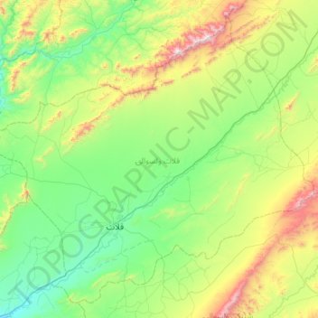
Name: Qalat topographic map, elevation, terrain.
Location: Qalat, Zabul, Afghanistan (31.96825 66.65932 32.47322 67.31939)
Average elevation: 1,833 m
Minimum elevation: 1,419 m
Maximum elevation: 3,038 m