
Akranes topographic map
Interactive map
Click on the map to display elevation.
About this map
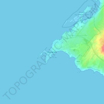
Name: Akranes topographic map, elevation, terrain.
Location: Akranes, Akraneskaupstaður, Western Region, 300, Iceland (64.27708 -22.12335 64.35708 -22.04335)
Average elevation: 3 m
Minimum elevation: -1 m
Maximum elevation: 61 m