
la Cogota topographic map
Interactive map
Click on the map to display elevation.
About this map
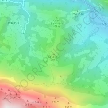
Name: la Cogota topographic map, elevation, terrain.
Location: la Cogota, Cabrales, Asturias, 33554, Spain (43.30126 -4.85265 43.30136 -4.85255)
Average elevation: 454 m
Minimum elevation: 152 m
Maximum elevation: 1,140 m
Other topographic maps
Click on a map to view its topography, its elevation and its terrain.