
Ironwood topographic map
Interactive map
Click on the map to display elevation.
About this map
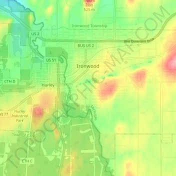
Name: Ironwood topographic map, elevation, terrain.
Location: Ironwood, Gogebic County, Michigan, United States of America (46.42665 -90.19361 46.47068 -90.11415)
Average elevation: 458 m
Minimum elevation: 406 m
Maximum elevation: 524 m