
Las Armas topographic map
Interactive map
Click on the map to display elevation.
About this map
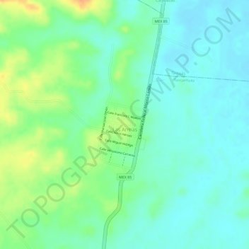
Name: Las Armas topographic map, elevation, terrain.
Location: Las Armas, Tancanhuitz, San Luis Potosí, México (21.69375 -98.97088 21.70101 -98.96362)
Average elevation: 54 m
Minimum elevation: 39 m
Maximum elevation: 80 m
Other topographic maps
Click on a map to view its topography, its elevation and its terrain.
Las Armas
México > San Luis Potosí > Las Armas
Las Armas, Tancanhuitz, San Luis Potosí, México
Average elevation: 55 m