
Big Flats Airport topographic map
Interactive map
Click on the map to display elevation.
About this map
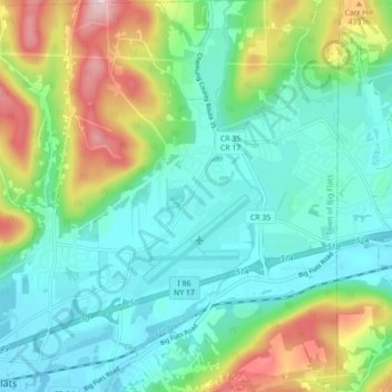
Name: Big Flats Airport topographic map, elevation, terrain.
Location: Big Flats Airport, Chemung County, New York, United States (42.13579 -76.92403 42.20037 -76.86027)
Average elevation: 343 m
Minimum elevation: 273 m
Maximum elevation: 521 m