
Bosteri topographic map
Interactive map
Click on the map to display elevation.
About this map
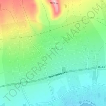
Name: Bosteri topographic map, elevation, terrain.
Location: Bosteri, Issyk-Kul Region, Kyrgyzstan (42.65241 77.16953 42.67170 77.20579)
Average elevation: 1,672 m
Minimum elevation: 1,603 m
Maximum elevation: 1,815 m