
Saulkrasti topographic map
Interactive map
Click on the map to display elevation.
About this map
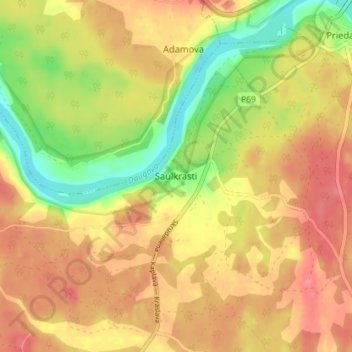
Name: Saulkrasti topographic map, elevation, terrain.
Location: Saulkrasti, Krāslavas novads, Latgale, Latvia (55.85599 27.10146 55.89599 27.14146)
Average elevation: 132 m
Minimum elevation: 89 m
Maximum elevation: 161 m