
Joes Box topographic map
Interactive map
Click on the map to display elevation.
About this map
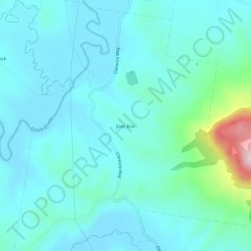
Name: Joes Box topographic map, elevation, terrain.
Location: Joes Box, Kyogle Council, New South Wales, Australia (-28.69556 152.57417 -28.65556 152.61417)
Average elevation: 218 m
Minimum elevation: 160 m
Maximum elevation: 553 m