
Lamb island topographic map
Interactive map
Click on the map to display elevation.
About this map
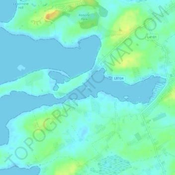
Name: Lamb island topographic map, elevation, terrain.
Location: Lamb island, Galway, Ireland (53.23749 -8.96552 53.23781 -8.96437)
Average elevation: 7 m
Minimum elevation: -2 m
Maximum elevation: 29 m