
Charlestown topographic map
Interactive map
Click on the map to display elevation.
About this map
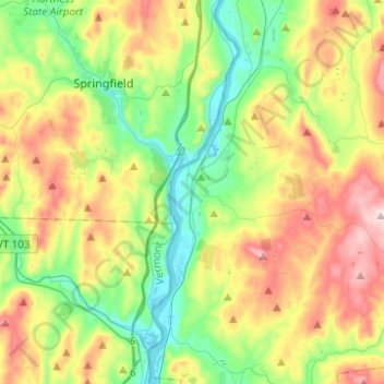
Name: Charlestown topographic map, elevation, terrain.
Average elevation: 256 m
Minimum elevation: 81 m
Maximum elevation: 545 m
Other topographic maps
Click on a map to view its topography, its elevation and its terrain.
Cornish
United States > New Hampshire > Sullivan County
Cornish, Sullivan County, New Hampshire, United States
Average elevation: 272 m