
Ryarsh topographic map
Interactive map
Click on the map to display elevation.
About this map
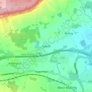
Name: Ryarsh topographic map, elevation, terrain.
Location: Ryarsh, Kent, South East, England, ME19 5LL, United Kingdom (51.29342 0.37488 51.33342 0.41488)
Average elevation: 57 m
Minimum elevation: 1 m
Maximum elevation: 202 m