
visvijver topographic map
Interactive map
Click on the map to display elevation.
About this map
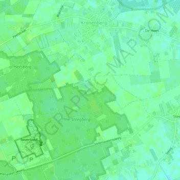
Name: visvijver topographic map, elevation, terrain.
Average elevation: 32 m
Minimum elevation: 26 m
Maximum elevation: 34 m
Other topographic maps
Click on a map to view its topography, its elevation and its terrain.
Sint Jan Sleutelbergbos
Nederland > Limburg > Horst aan de Maas
Sint Jan Sleutelbergbos, Venloseweg, Grubbenvorst, Horst aan de Maas, Limburg, Nederland, 5971PB, Nederland
Average elevation: 23 m